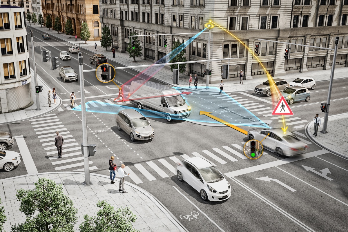
Intelligent analytics in surveillance cameras can be used for much more than just security applications, for example to streamline transport in major cities.
“With intelligent analytics and object classification in the cameras, data can be collected and contribute to important facts for urban planners,” says Markus Lai, regional manager sales engineering and training at Axis Communications.
Markus Lai sees many opportunities in today’s technology, for city planners who want to streamline and control traffic flows towards sustainability.
“Efficient transport is important for all cities, whether it is walking, cycling, electric scooters, cars or buses. With information from smart sensors, such as cameras and radars, you can find out how people make their transport choices,” he says.
Support for urban planning
One factor to consider is demographic differences in behaviours and preferences when it comes to choosing a mode of transport. For example, younger people are usually more likely to use the bicycle or the subway, while elder people choose the car to a greater extent for comfort and convenience.
Markus Lai sees cameras and people counting technology as a tool that can be of great use for urban planners.
“Before any changes can be made, it is important to understand exactly how people use different modes of transport. Collecting data will be crucial and people counting technology can contribute to increasing awareness, providing knowledge and improving sustainability in cities,” he believes.
Contributes to sustainability
People’s choice of mode of transport can depend on many factors. Residents may, for example, be concerned about safety or have limited access to public transport and therefore choose the car, which contributes to congestion, reduced air quality and increased noise pollution. Maybe there is a lack of available parking spaces in a high-traffic area or a tendency to use vehicles for short journeys because public transport is inconvenient.
Insights into precisely these conditions form a good basis for bringing about concrete changes with an overall positive impact. But to achieve reduced congestion and improved air quality, which are important sustainability goals, it is important to create a transport profile where information about the area in question can be collected.
The transport profile
The first step in building a transportation profile is to collect the right data. Here, cameras equipped with person and vehicle counting software can be very useful. They collect information about the number of individuals and the type of vehicle used in the area in question.
“By placing these cameras in strategic locations and combining the data they collect with data from other sources to compare patterns with demographic profiles. In this way, understanding of different modes of transport can be created in an efficient way. Information that is extracted can and transport choices that the population would need to make to achieve the goals,” states Markus Lai.
“Once the analysis of this information is complete, improvements to transport modes at the urban area level can be made and initiatives can be developed to encourage the use of alternative more sustainable transport.”
Traffic zones
Markus Lai also gives examples of which measures may be relevant based on the data that the cameras with people counting have produced.
“In areas that are found to have a high level of pedestrian traffic, a restricted traffic zone can be introduced where through traffic and parking are restricted during the day to prioritise pedestrian and bicycle flows, except for certain professional traffic.”
“If bicycle traffic increases, it can initiate a review of how to improve accessibility and safety, for example by changing the way the lanes for car traffic should look or whether cycle lanes must be added or widened as well as if new parking areas for bicycles are needed or perhaps a carpooling system that could relieve traffic.”
Project in Lund in full swing
An interesting initiative was taken during the planning of the Brunnshög neighbourhood in Lund. The highest priority is to minimize negative environmental impact. To achieve the sustainability goals, city planners have decided that journeys to and from the area must consist of at least one third walking or cycling, one third using public transport, while the remaining third must be car journeys. The key to success in this ambitious project is the measurements made to see how residents use the different modes of transport over a defined period of time.
Measurements are made with a mix of different sensors where Axis tries out some of its new solutions where sensors with people counting technology and radar keep track of the number of vehicles and also measure speeds.
Measuring residents’ reactions
The project goes by the name Flow and is based on a collaboration between several different organisations around the use of sensors to collect transport data to a digital transport platform for analysis that will lead the project to insights and wise decisions that support the original goals. This also includes measuring the residents’ activity in order to understand their reaction to changes that are carried out.
The project, which is financed by IoT Sweden, is supposed to last until June 2024 and ultimately aims to create a sustainable and attractive living environment with Lund’s attractions within easy reach.
Source: SECURITY WORLD MARKET


